Datei:1822 Butler Map of Ireland - Geographicus - Ireland-butler-1822.jpg
Gress dea Voaschau: 458 × 599 Pixel Weitere Auflésungan: 183 × 240 Pixel | 367 × 480 Pixel | 587 × 768 Pixel | 782 × 1.024 Pixel | 2.317 × 3.032 Pixel.
Version in hechara Auflesung (2.317 × 3.032 Pixel, Dateigress: 1,65 MB, MIME-Typ: image/jpeg)
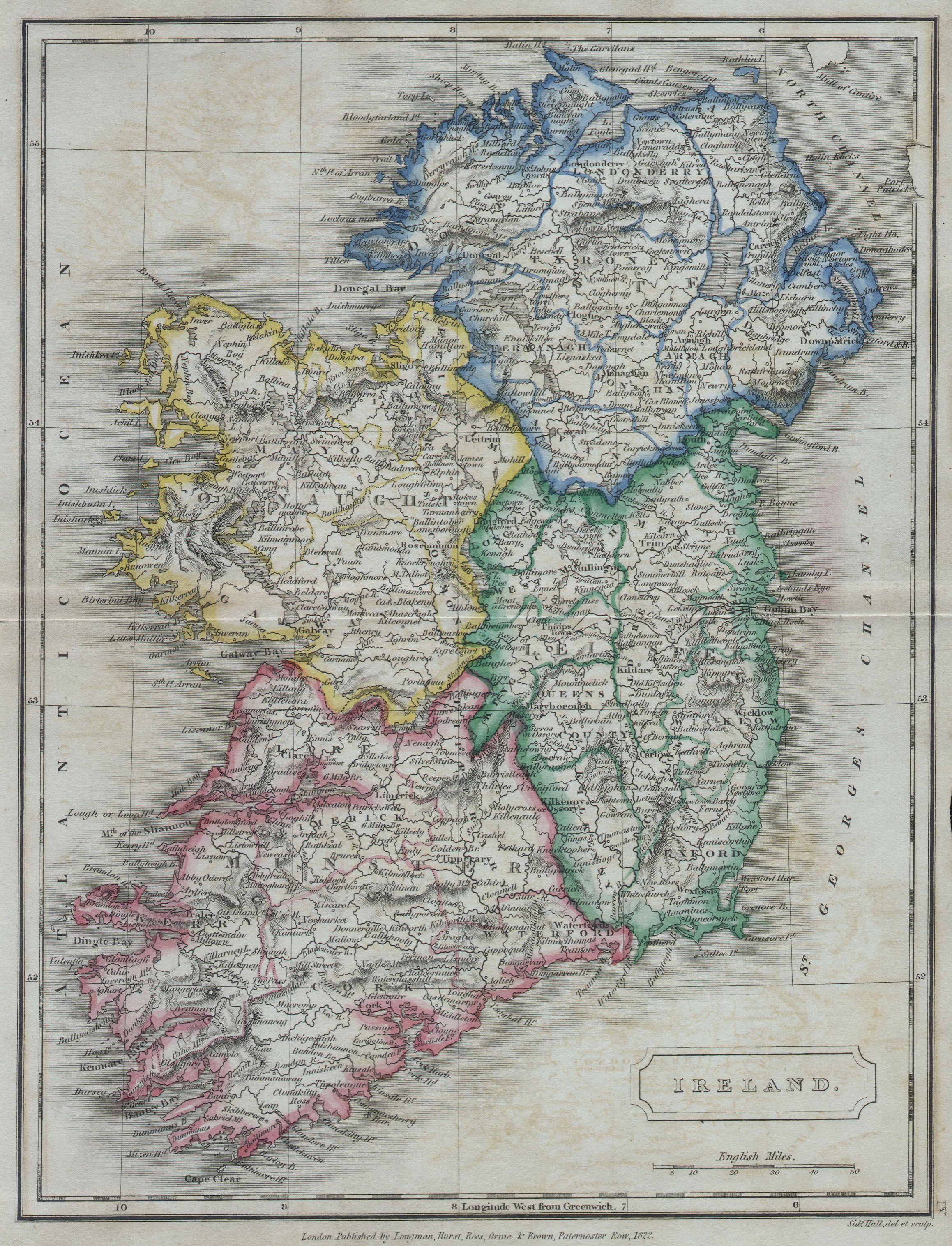
| Samuel Butler: Ireland.
( |
|||||||||||||||||||||
|---|---|---|---|---|---|---|---|---|---|---|---|---|---|---|---|---|---|---|---|---|---|
| Künstler |
|
||||||||||||||||||||
| Titel |
Ireland. |
||||||||||||||||||||
| Bschreiwung |
English: A beautiful hand colored map of Ireland from Butler’s 1822 School Geography. Dated. |
||||||||||||||||||||
| Daatum | 1822 | ||||||||||||||||||||
| Maße | Hechn: 8 in (20,3 cm); Breitn: 10 in (25,4 cm) | ||||||||||||||||||||
| Inventarnummer |
Geographicus link: Ireland-butler-1822 |
||||||||||||||||||||
| Herkunft/Fotograf |
|
||||||||||||||||||||
| Gnémigung (Weidernutzung voh derer Daatei) |
|
||||||||||||||||||||

Dateiversiona
Wensd auf an Zeitpunkt klickst, nacha konst a friaane Version lodn.
| Version vom | Vorschaubuidl | Dimensióna | Nutzer | Kommentar | |
|---|---|---|---|---|---|
| aktuell | 10:34, 16. Mer. 2011 | | 2.317 × 3.032 (1,65 MB) | BotMultichill | {{subst:User:Multichill/Geographicus |link=http://www.geographicus.com/P/AntiqueMap/Ireland-butler-1822 |product_name=1822 Butler Map of Ireland |map_title=Ireland. |description=A beautiful hand colored map of Ireland from Butler’s 1822 School Geography |
Dateivawendung
Seitn wo de Datei nutzn:
Globale Dateinutzung
D'noochéfóiganden åndern Wikis vawénden dé Datei:
- Vawendung af de.wikipedia.org
- Vawendung af tt.wikipedia.org