Datei:Blank map of South Europe and North Africa.svg

Größe der PNG-Vorschau dieser SVG-Datei: 800 × 473 Pixel. Weitere Auflésungan: 320 × 189 Pixel | 640 × 379 Pixel | 1.024 × 606 Pixel | 1.280 × 757 Pixel | 2.560 × 1.515 Pixel | 2.050 × 1.213 Pixel.
Version in hechara Auflesung (SVG-Datei, Basisgress: 2.050 × 1.213 Pixl, Dateigress: 324 KB)
| Bschreiwung |
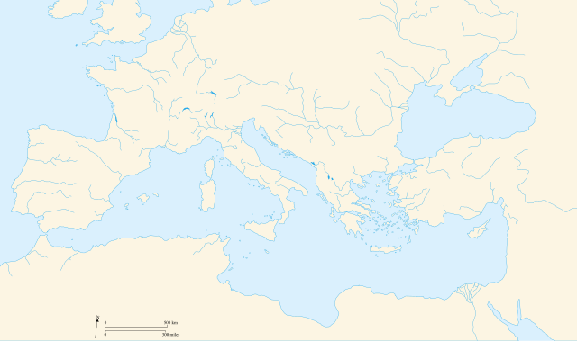
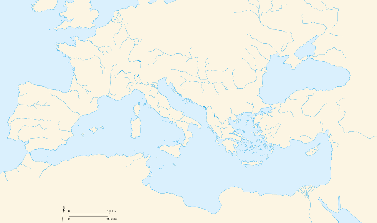
Français : Carte vierge de l'Europe du Sud et du Bassin Méditerranée dans l'Antiquité English: Blank map of South Europe and North Africa at Antic period |
||||||||
| Daatum | 09/08/2007 | ||||||||
| Quejn | Eigenes Werk | ||||||||
| Urhéwer | historicair 23:27, 8 August 2007 (UTC) | ||||||||
| Gnémigung (Weidernutzung voh derer Daatei) |
Diese Datei ist unter den Creative-Commons-Lizenzen „Namensnennung – Weitergabe unter gleichen Bedingungen 2.5 generisch“, „2.0 generisch“ und „1.0 generisch“ lizenziert.
|
||||||||
| Aundre Versióner |
Derivative works of this file: |
||||||||
| SVG‑Erstellung |

.svg)
Dateiversiona
Wensd auf an Zeitpunkt klickst, nacha konst a friaane Version lodn.
| Version vom | Vorschaubuidl | Dimensióna | Nutzer | Kommentar | |
|---|---|---|---|---|---|
| aktuell | 00:58, 21. Apr. 2010 | | 2.050 × 1.213 (324 KB) | Ras67 | frame removed |
| 14:50, 9. Aug. 2007 |  | 2.050 × 1.213 (330 KB) | Historicair | ||
| 01:27, 9. Aug. 2007 |  | 2.050 × 1.213 (211 KB) | Historicair | {{Information |Description={{fr}}Carte vierge de l'Europe du Sud et du Bassin Méditerranée {{en}}Blank map of South Europe and North Africa |Source=Own work |Date=09/08/2007 |Author=~~~~ |Permission={{self2|GFDL|cc-by-sa-2.5,2.0,1.0}} |other_versions= } |
Dateivawendung
Koa Seitn nutzt de Datei.
Globale Dateinutzung
D'noochéfóiganden åndern Wikis vawénden dé Datei:
- Vawendung af de.wikipedia.org
- Vawendung af el.wikipedia.org
- Vawendung af fr.wikipedia.org
- Vawendung af it.wikipedia.org