Datei:Mapa loc Atacama.svg

Version in hechara Auflesung (SVG-Datei, Basisgress: 400 × 600 Pixl, Dateigress: 1,13 MB)
| Bschreiwung |
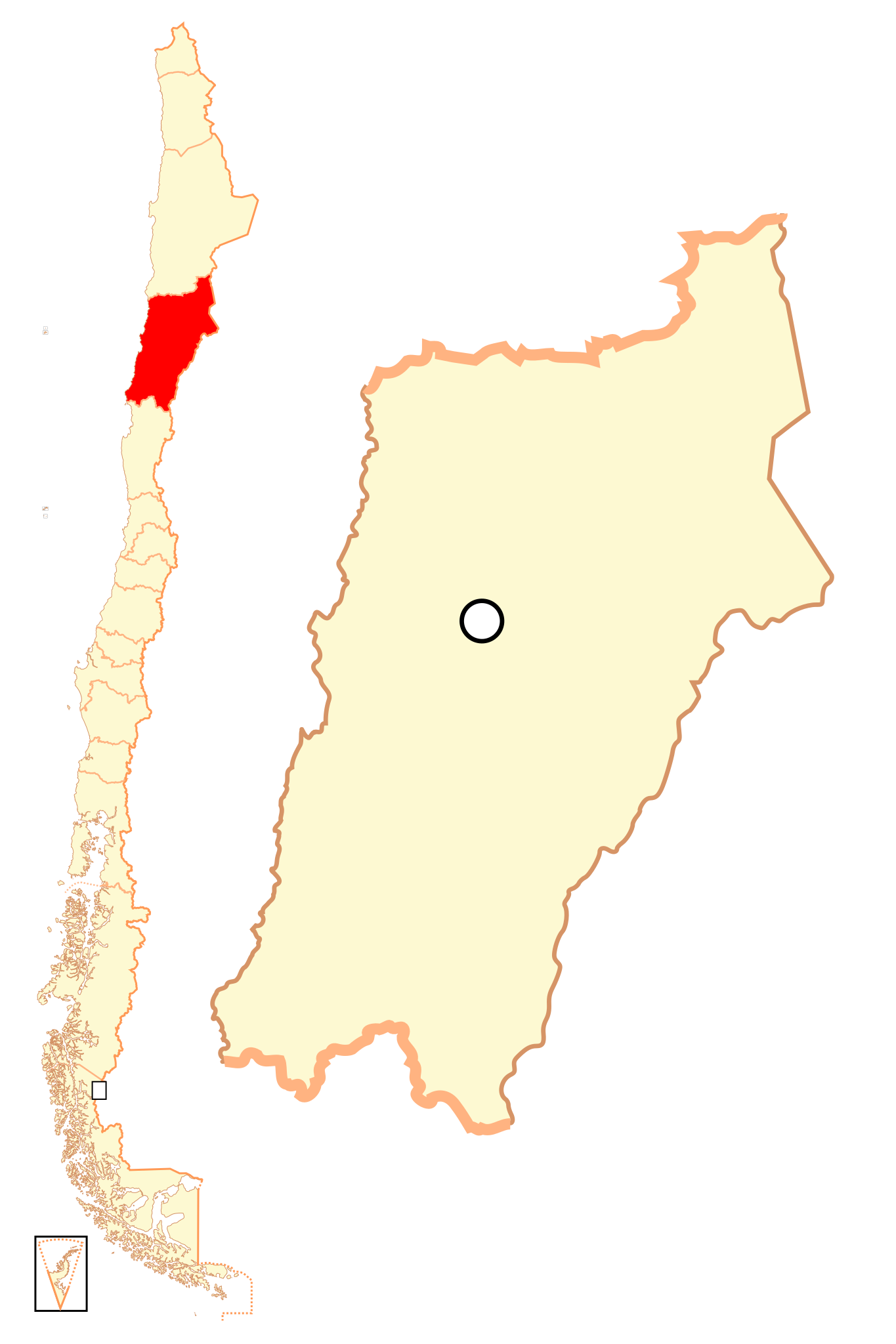
Español: Mapa localizador de la III Región de Atacama |
| Daatum | |
| Quejn | Eigenes Werk |
| Urhéwer | B1mbo |
| Gnémigung (Weidernutzung voh derer Daatei) |
Diese Datei ist unter der Creative-Commons-Lizenz „Namensnennung – Weitergabe unter gleichen Bedingungen 2.5 generisch“ (US-amerikanisch) lizenziert.
|
| Legal disclaimer
The edition and circulation of maps, geographic charts and other documents about the boundaries and frontiers of Chile, don't have any relation with the Republic of Chile, according to the Article 2 g) of DFL Nº83 of 1979 of the Ministery of Foreign Affairs. La edición y circulación de mapas, cartas geográficas y otros documentos sobre los límites y fronteras de Chile no tienen relación alguna con la República de Chile de acuerdo al artículo 2 g) del DFL Nº83 de 1979 del Ministerio de Relaciones Exteriores. |
Dateiversiona
Wensd auf an Zeitpunkt klickst, nacha konst a friaane Version lodn.
| Version vom | Vorschaubuidl | Dimensióna | Nutzer | Kommentar | |
|---|---|---|---|---|---|
| aktuell | 00:37, 6. Sep. 2018 | | 400 × 600 (1,13 MB) | Janitoalevic | Ñuble Region |
| 01:14, 21. Aug. 2017 |  | 400 × 600 (1 MB) | Janitoalevic | Reverted to version as of 02:13, 6 October 2007 (UTC) | |
| 06:20, 20. Aug. 2017 |  | 400 × 600 (1,06 MB) | Janitoalevic | Added Ñuble Region | |
| 04:13, 6. Ókt. 2007 |  | 400 × 600 (1 MB) | B1mbo | {{Information |Description= {{es|Mapa localizador de la III Región de Atacama}} |Source=own work |Date=5 de octubre, 2007 |Author=B1mbo |Permission={{self|cc-by-sa-2.5}} |other_versions= }} {{User:B1mbo/Chile |
Dateivawendung
Seitn wo de Datei nutzn:
Globale Dateinutzung
D'noochéfóiganden åndern Wikis vawénden dé Datei:
- Vawendung af ba.wikipedia.org
- Vawendung af bg.wikipedia.org
- Vawendung af br.wikipedia.org
- Vawendung af da.wikipedia.org
- Vawendung af de.wikipedia.org
- Vawendung af en.wikipedia.org
- Vawendung af es.wikipedia.org
- Vawendung af eu.wikipedia.org
- Vawendung af fi.wikipedia.org
- Vawendung af frr.wikipedia.org
- Vawendung af fr.wiktionary.org
- Vawendung af hr.wikipedia.org
- Vawendung af hy.wikipedia.org
- Vawendung af ja.wikipedia.org
- Vawendung af ka.wikipedia.org
- Vawendung af ko.wikipedia.org
- Vawendung af lad.wikipedia.org
- Vawendung af lt.wikipedia.org
- Vawendung af no.wikipedia.org
- Vawendung af pl.wikipedia.org
Weitere globale Verwendungen dieser Datei anschauen.