Datei:Norway Nordland location map.svg

Version in hechara Auflesung (SVG-Datei, Basisgress: 684 × 944 Pixl, Dateigress: 514 KB)
Bschreiwung
| Bschreiwung |
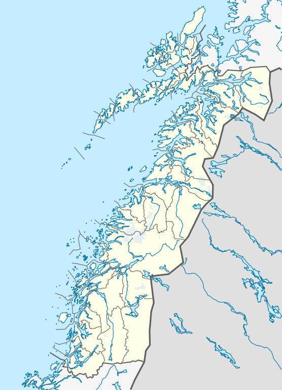
Quadratische Plattkarte, N-S-Streckung 255 %. Geographische Begrenzung der Karte:
Equirectangular projection, N/S stretching 255 %. Geographic limits of the map:
|
|
| Daatum | ||
| Quejn |
Eigenes Werk, using
|
|
| Urhéwer | NordNordWest | |
| Gnémigung (Weidernutzung voh derer Daatei) |
Diese Datei ist unter der Creative-Commons-Lizenz „Namensnennung – Weitergabe unter gleichen Bedingungen 3.0 Deutschland“ lizenziert.
 Diese Datei ist unter der Creative-Commons-Lizenz „Namensnennung – Weitergabe unter gleichen Bedingungen 3.0 Deutschland“ lizenziert.
|


|
Diese Karte wurde in der Kartenwerkstatt erstellt oder verbessert. Auch du kannst dort Karten vorschlagen, die zu erstellen, verändern oder übersetzen sind.
|
Dateiversiona
Wensd auf an Zeitpunkt klickst, nacha konst a friaane Version lodn.
| Version vom | Vorschaubuidl | Dimensióna | Nutzer | Kommentar | |
|---|---|---|---|---|---|
| aktuell | 23:30, 2. Jun. 2010 | | 684 × 944 (514 KB) | NordNordWest | =={{int:filedesc}}== {{Information |Description= {{de|Positionskarte von Nordland, Norwegen}} Quadratische Plattkarte, N-S-Streckung 255 %. Geographische Begrenzung der Karte: * N: 69.4° N * S: 64.8° N * W: 10 |
Dateivawendung
Koa Seitn nutzt de Datei.
Globale Dateinutzung
D'noochéfóiganden åndern Wikis vawénden dé Datei:
- Vawendung af ceb.wikipedia.org
- Vawendung af de.wikipedia.org
- Vawendung af en.wikipedia.org
- Vawendung af frr.wikipedia.org
- Vawendung af hy.wikipedia.org
- Vawendung af no.wikipedia.org
- Vawendung af pl.wikibooks.org
- Vawendung af sv.wikipedia.org
- Vawendung af uk.wikipedia.org
- Vawendung af war.wikipedia.org