Nugent Island
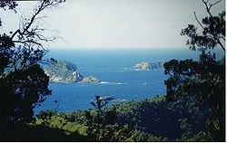
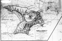
Nugent Island is de neadlichsde Insl vo de Kermadecinsln und domid's neadlichsde Gebiet in Neiseeland. Es liegd noadestli vo Neiseeland, is ungfeah kroasfeamig und hod'n Duachmessa vo uma 100 Meta. Nugent Island ghead zua Gruppn vo de Insln rund um Raoul Island.
| Nugent Island | |
|---|---|
 | |
| Gwassa | Pazifischa Ozean |
| Inselgruppm | Kermadecinseln |
| Geographische Log | 29° 13′ 54″ S, 177° 52′ 9″ W |
| Leng | 100 m |
| Broadn | 100 m |
 | |
De Stoa vo da Insl san ungfeah 600.000 bis 1,4 Milliona Joar oid; es bstähd aus ghobana und kippda Kissnlava und is ba submarina Vuikanausbruich entstondn.[1]
Beleg
Werkeln- ↑ Tim J. Worthington, Murray R. Gregory, Vladislav Bondarenko: The Denham Caldera on Raoul Volcano: dacitic volcanism in the Tonga–Kermadec arc. In: Journal of Volcanology and Geothermal Research. ISSN 0377-0273 90(1999), S. 29–48, hier S. 31f.